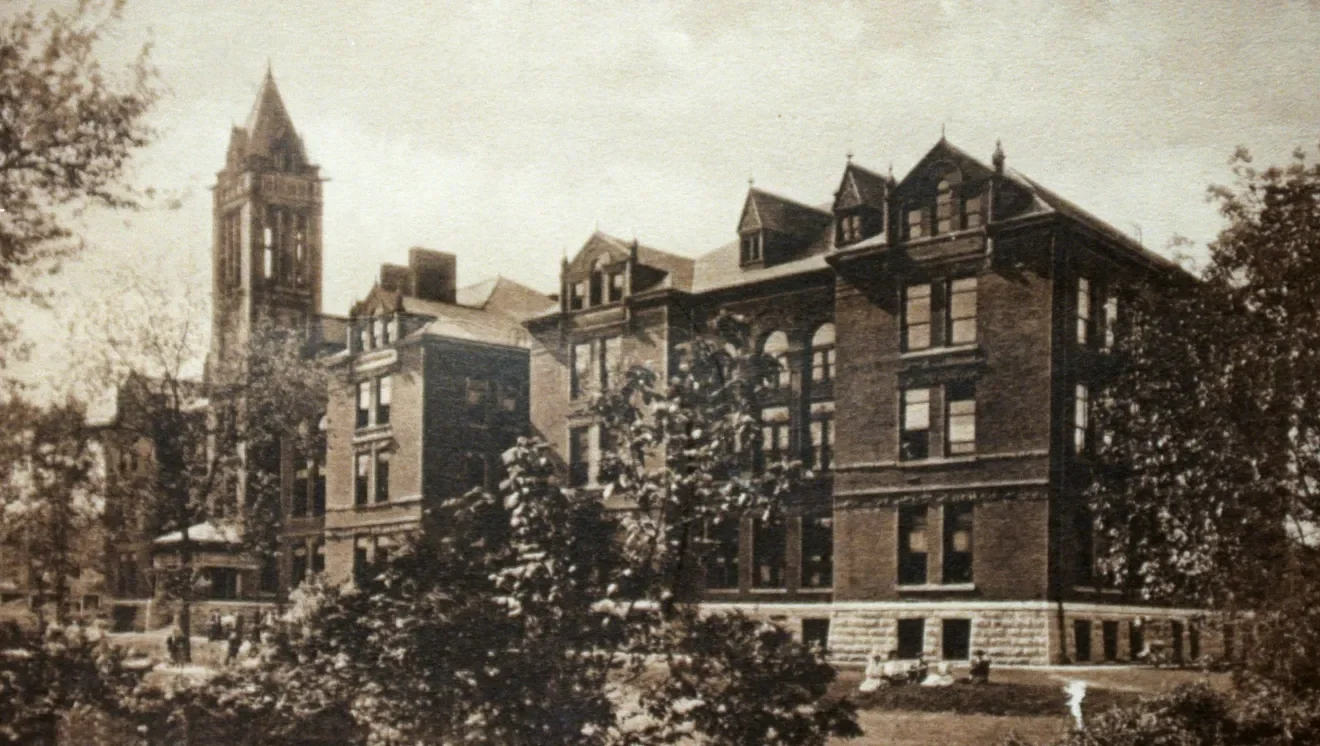
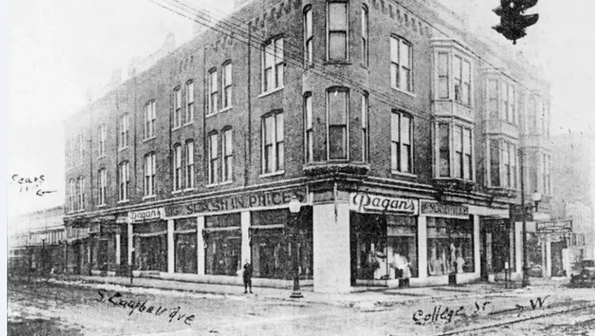
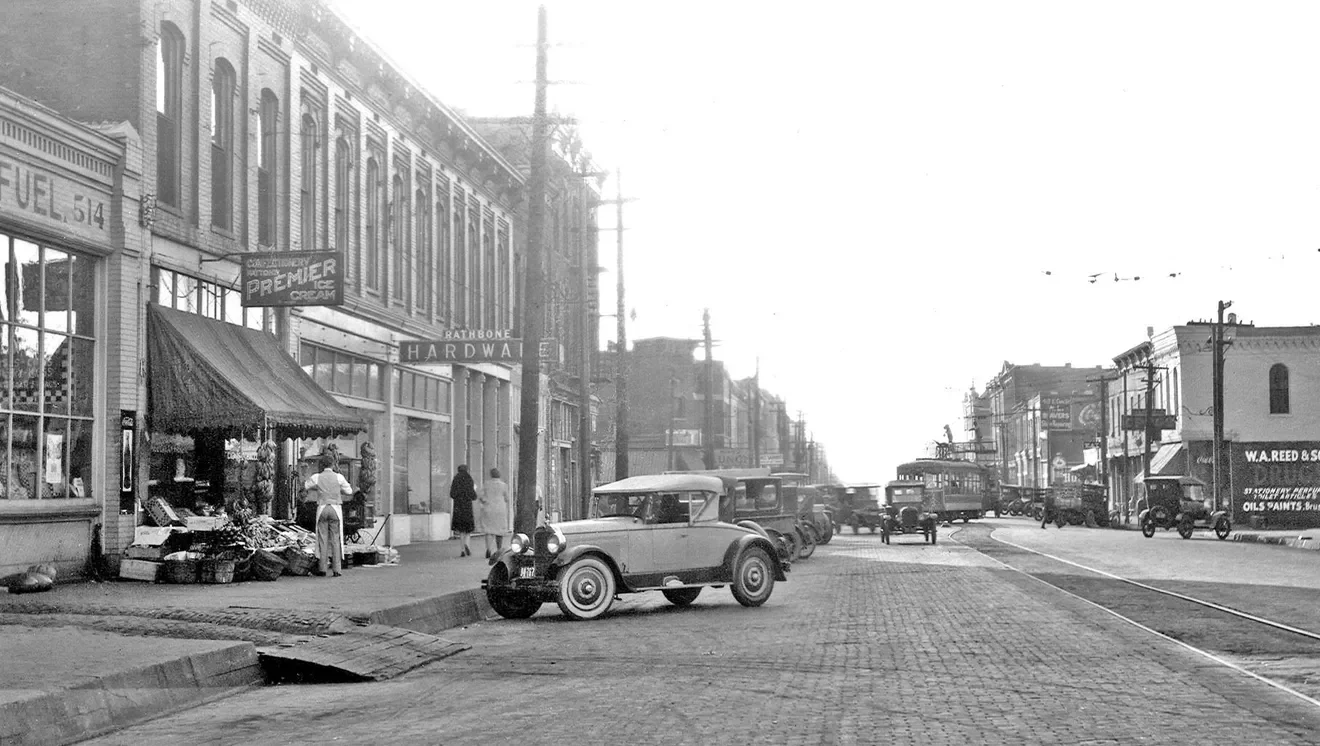
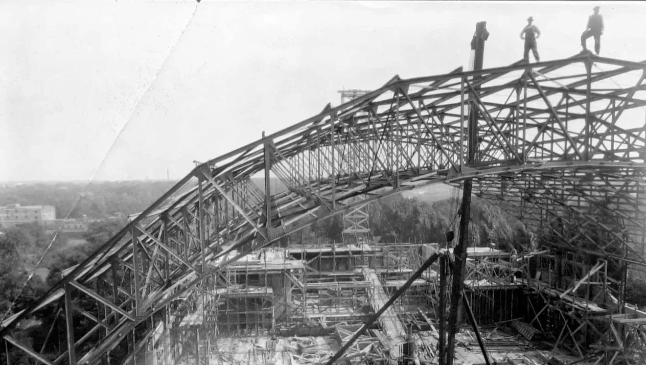
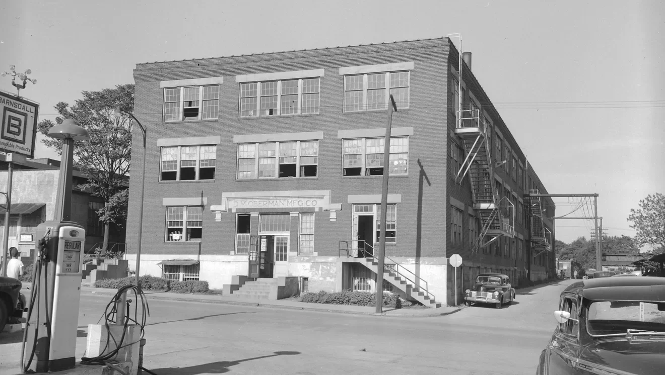
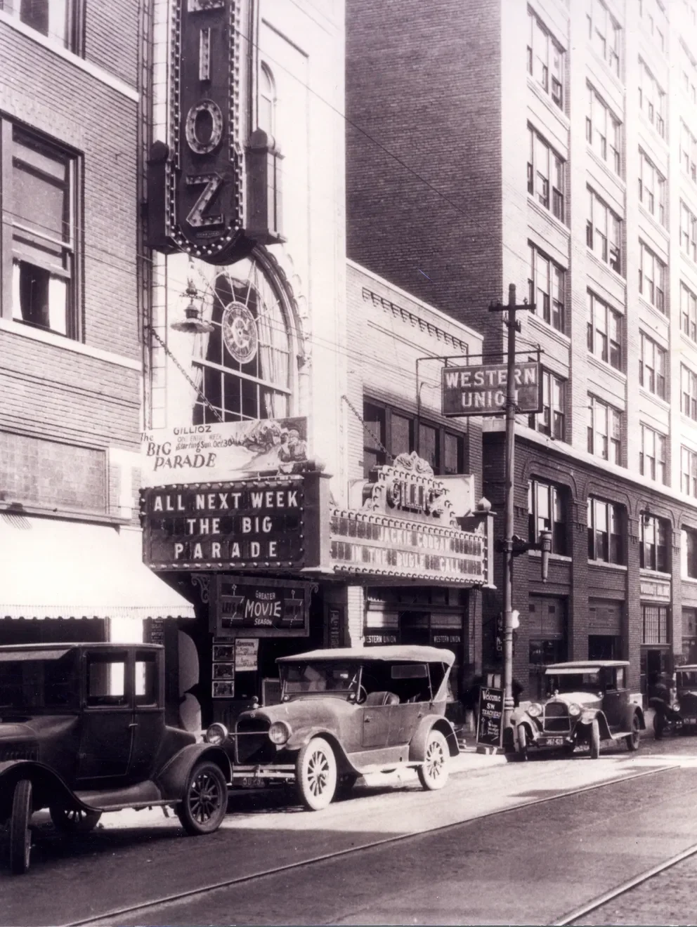
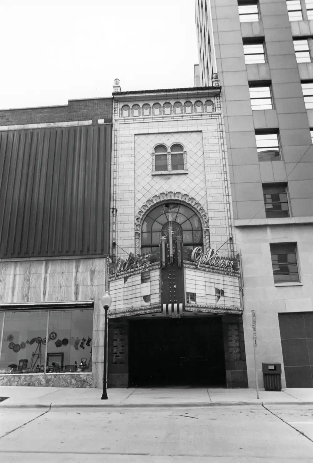
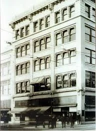
Historic Tax Credits in Missouri
Preserving historic buildings isn’t just about honoring the past—it’s also a smart financial decision. Property owners in Missouri, Greene County, and Springfield may qualify for state and federal historic tax credits that can offset up to 55% of rehabilitation costs.
These programs make restoration more achievable for both homeowners and income-producing property owners.
-
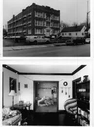
Who Qualifies: Owners of income-producing historic properties (commercial, industrial, agricultural, or rental residential).
How It Works:Offers a 20% income tax credit for qualified rehabilitation expenses.
Administered by the National Park Service (NPS) in partnership with the Missouri State Historic Preservation Office (SHPO).
Projects must meet the Secretary of the Interior’s Standards for Rehabilitation.
Note: Private residences do not qualify for federal credits.
Learn more: preservemo.org | nps.gov/tps
-
Who Qualifies:
Owners of certified historic structures (income-producing or residential).
Nonprofits may also qualify.
How It Works:
25% tax credit for projects in Kansas City and St. Louis.
35% tax credit for all other areas, including Greene County and Springfield.
Credits can be sold or transferred, carried backwards 3 years or carried forward for up to 10 years.
Example:
A $100,000 rehabilitation with $50,000 in qualified expenses earns a $12,500 credit at 25%.Learn more: ded.mo.gov | senate.mo.gov
-
Owners of income-producing properties can combine both credits for maximum benefit:
Federal (20%) + State (35%) = Up to 55% of eligible rehabilitation costs covered.
Credits can be applied to reduce your tax liability dollar for dollar or sold for cash to fund your project.
-
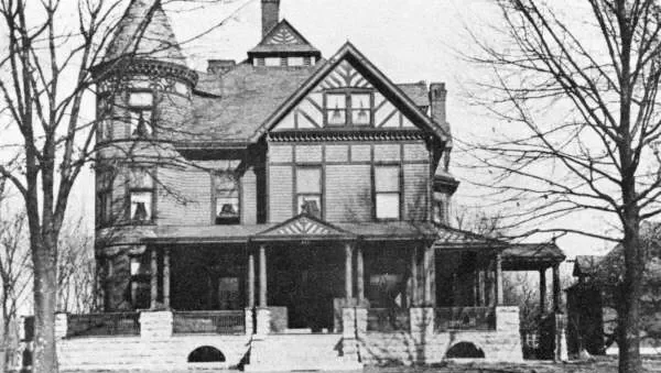
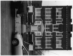
If you own a private residence that’s a certified historic structure, you may be eligible for Missouri’s residential tax credit:
35% credit on qualified rehabilitation expenses. (Outside of KC & St. Louis)
Available statewide, including Springfield and Greene County.
Helps offset the cost of restoring your home while preserving neighborhood character.
Who Benefits:
Homeowners, nonprofits, and local preservation-minded investors.


THE APPLICATION PROCESS
-
Before you begin, verify that your property qualifies as a certified historic structure.
A property may be eligible if it is:Individually listed on the National Register of Historic Places, or
A contributing building within a National Register Historic District, or
Located within a certified local historic district, or
Deemed eligible through a formal review by the National Park Service (NPS).
Need help?
Contact the Missouri State Historic Preservation Office (SHPO) for a free Eligibility Assessment (EA).
You don’t have to own the property to request one.
→ Is My Property Eligible?
→ Current National Listings
→ Current Local Listings -
All rehabilitation work must meet the Secretary of the Interior’s Standards for Rehabilitation—guidelines that ensure projects retain a building’s historic character while allowing modern updates.
This includes appropriate materials, finishes, and preservation of distinctive features.
-
Identify which program(s) apply to your project:
Federal Tax Credit (20%) – For income-producing properties (commercial, rental, industrial, or agricultural).
Missouri State Tax Credit (25–35%) – For both income-producing and owner-occupied historic properties.
Projects in Springfield and Greene County typically qualify for the 35% state credit.
When combined, these credits can cover up to 55% of qualified rehabilitation costs.
-
The application process is coordinated through the Missouri Department of Economic Development (DED) and Missouri SHPO:
Part 1 – Evaluation of Significance: Confirms the building’s historic status.
Part 2 – Description of Rehabilitation: Outlines your proposed scope of work and materials.
Part 3 – Request for Certification of Completed Work: Submitted after the project is complete.
Applications are accepted year-round through DED’s online Submittable portal.
→ ded.mo.gov -
Once your application is approved, you can start construction.
Be sure to:Maintain documentation of all Qualified Rehabilitation Expenditures (QREs) (labor, materials, design fees, etc.).
Photograph progress regularly.
Notify SHPO if any scope changes arise to keep your project in compliance.
-
When your project is complete:
Submit Part 3 (Request for Certification of Completed Work) with your final documentation, photographs, and cost summary to the Missouri State Historic Preservation Office (SHPO) and, if applicable, the National Park Service (NPS).
SHPO and NPS review your submission to confirm that the rehabilitation meets the Secretary of the Interior’s Standards for Rehabilitation.
Once approved, you’ll receive official certification and your tax credits are issued
-
After certification, your credits can be used in several ways:
Missouri State Historic Tax Credits
Apply credits to your Missouri income tax liability.
Carry back unused credits up to 3 years to recover taxes already paid.
Carry forward remaining credits for up to 10 years.
Sell or transfer credits to another taxpayer for immediate cash.
Federal Historic Tax Credits
Apply credits to your federal income tax liability.
Carry forward unused credits for up to 20 years.
No carryback or transfer options are available.
Your accountant or tax professional can help you determine which options maximize your project’s benefit.
Additional Resources
Missouri Department of Economic Development: Provides comprehensive information on the state tax credit program, including guidelines and application materials.
Missouri State Historic Preservation Office: Offers guidance on the certification process and ensures that rehabilitation projects comply with established preservation standards.
Springfield Landmark’s Board: As a Certified Local Government (CLG), the Springfield Landmarks Board partners with SHPO. The Board also reviews local landmark designations, Certificate of Appropriateness applications, and can help guide you toward available state and federal historic tax credits.
[[DISCLAIMER: Information provided by Queen City Preservation is for educational purposes only and should not be considered legal, tax, or financial advice. Please consult a qualified professional regarding your specific project and eligibility for historic tax credits.]]